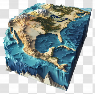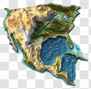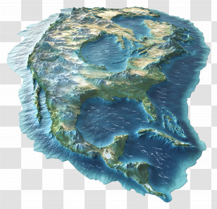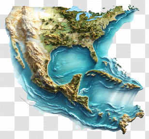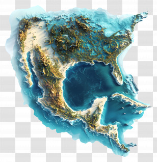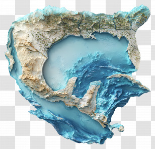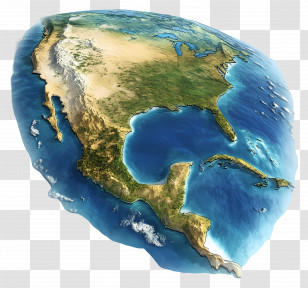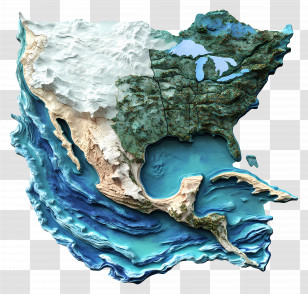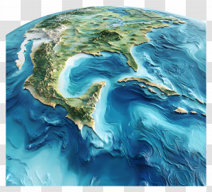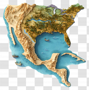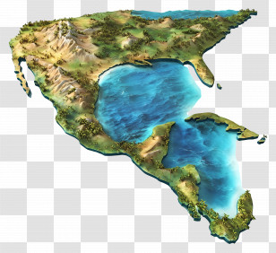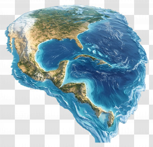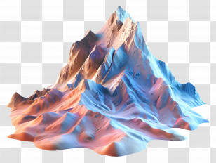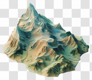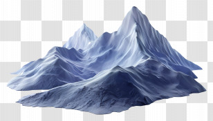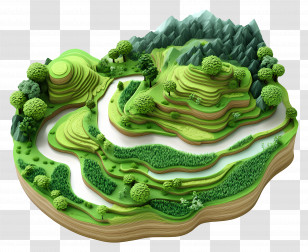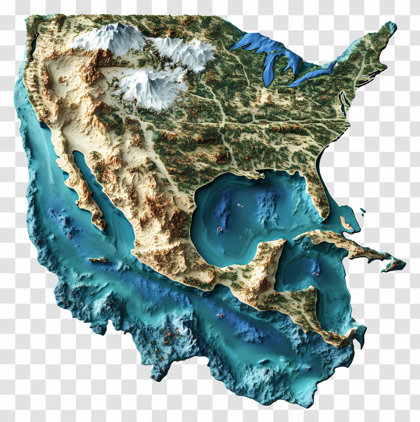
A topographic map of the United States of America. The map is in a 3D style, with a transparent background. It shows the contours of the country, including the mountains, rivers, and oceans. The mountains are covered in snow, and the rivers are a deep blue-green color. The oceans are a lighter shade of blue, and there are several small islands scattered throughout the map. The landmass is mostly green, with some areas of brown and beige. The overall color scheme of the map is predominantly beige and brown, with hints of blue and green.
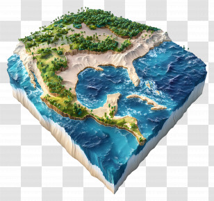
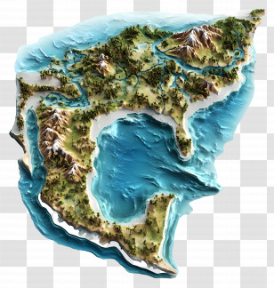
User elisenn uploaded the image
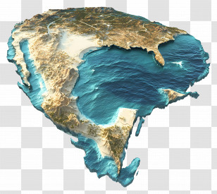
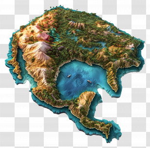
User elisenn uploaded the image
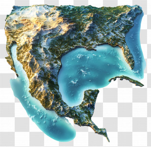
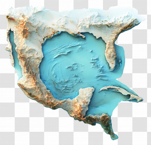
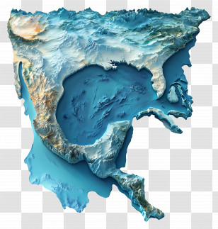
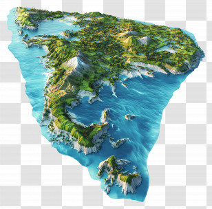
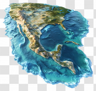
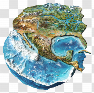
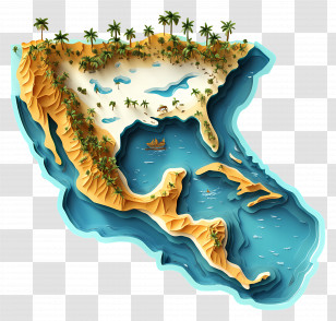
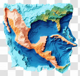
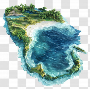
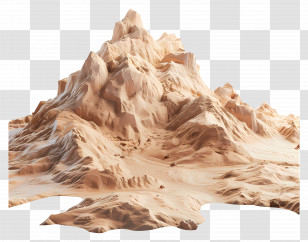
Gulf Of Mexico - 3D Terrain Map Illustration PNG
. The resolution of this PNG file is 3884 x 3904 pixels and it has a file size of 20.69 MB.You might also like these images below...