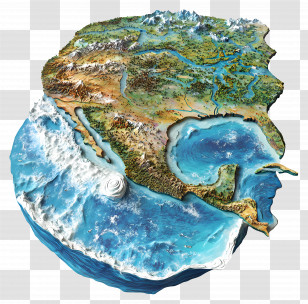
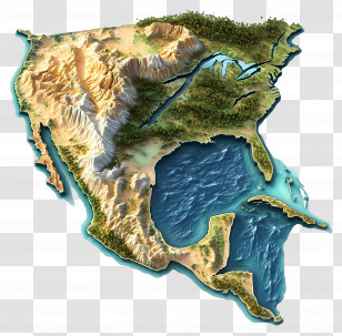
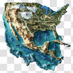
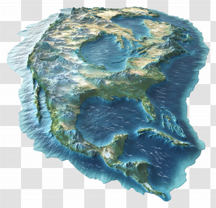
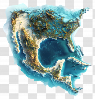
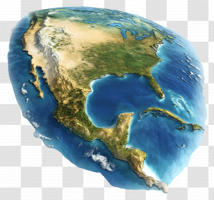
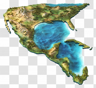
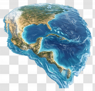
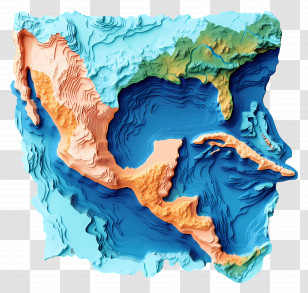
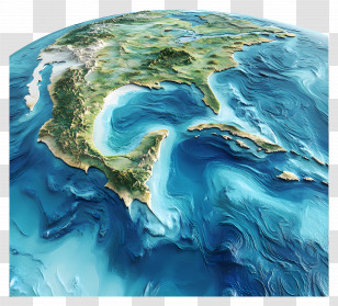
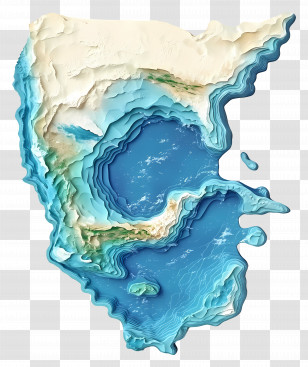
A 3D map of the United States of America. The map is in a top view, with the continents and oceans clearly visible. The continents are outlined in a light blue color, while the oceans are a deep blue-green color. The topography of the map is a mix of brown and beige tones, with some areas appearing darker and others lighter. The countries are labeled with their names, and the map appears to be a topographical representation of the country.
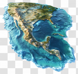
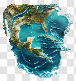
User francger uploaded the image
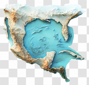
User francger uploaded the image
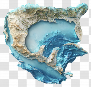
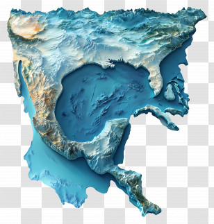
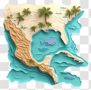
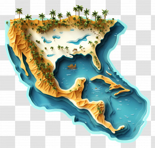
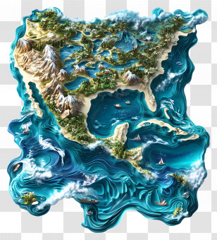
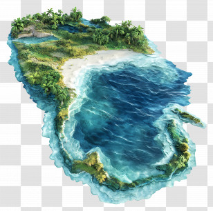
Gulf Of Mexico - 3D Map Of A Coastal Region PNG
. The resolution of this PNG file is 4000 x 3572 pixels and it has a file size of 14.75 MB.You might also like these images below...