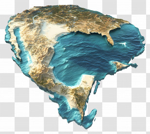
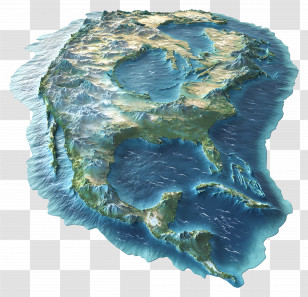
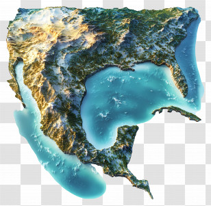
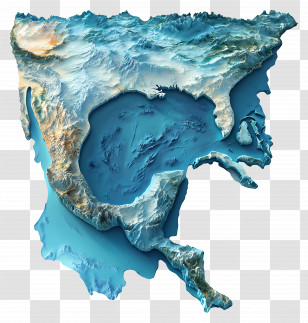
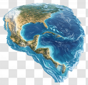
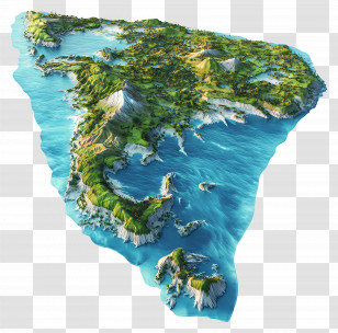
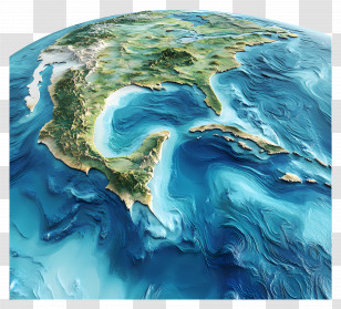
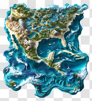
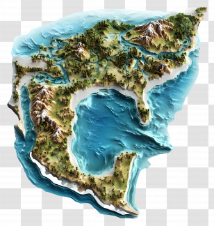
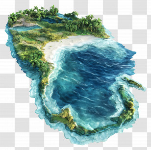
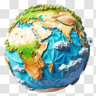
A 3D map of the United States of America, specifically the southern part of the country. The map is in a circular shape, with the ocean on the right side and the land on the left side. The land is covered in green and brown vegetation, with some areas of land appearing to be covered in trees and shrubs. The ocean is a deep blue-green color, with small waves crashing onto the shore. The water is a lighter shade of blue, with a few small islands scattered throughout. The overall color scheme of the map is predominantly blue and green, with hints of brown and white. The image appears to be a topographic representation of the ocean and land.
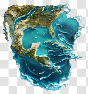
User morter uploaded the image
User morter uploaded the image
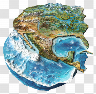
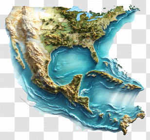
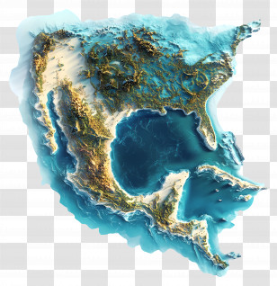
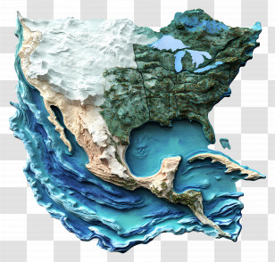
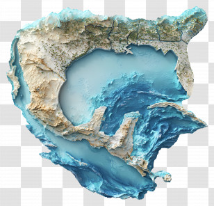
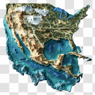
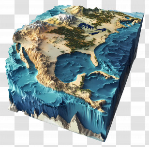
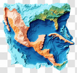
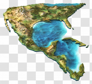
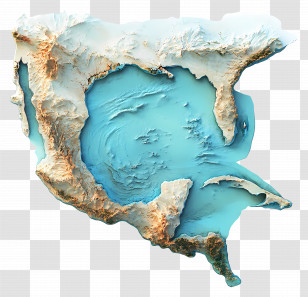
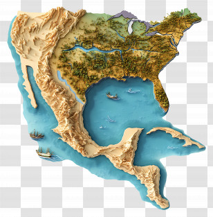
Gulf Of Mexico - 3D Map Of North America PNG
. The resolution of this PNG file is 4236 x 4032 pixels and it has a file size of 20.83 MB.You might also like these images below...