explore
background remover
login
create account
Sign Up
Login
Background Remover
Image Editor
Explore
Colors
Help / FAQ
Save
Download Transparent PNG
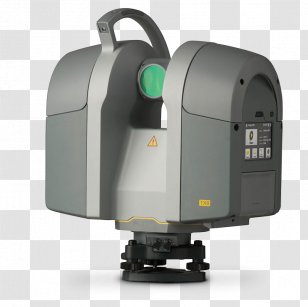
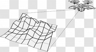
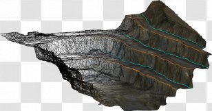
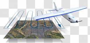
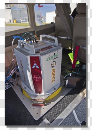
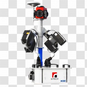
Lidar Aerial Survey Laser Scanning Surveyor Digital Elevation Model - Remote Sensing Transparent PNG
Edit PNG
AI Background Remover
500x667
184.14 KB
July 30, 2015
PNG (300 DPI)
pascalii
Send Message
Remote Sensing
Laser
Propeller
Rotorcraft
Helicopter Rotor
Topography
Aerial Photography
Vehicle
Inertial Navigation System
Helicopter
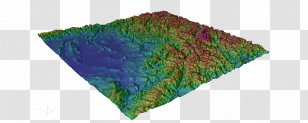
Digital Elevation Model
Lidar
Aircraft
Geomatics
System
Unmanned Aerial Vehicle
Mode Of Transport
Aviation
Surveyor
Aerial Survey
Air Travel
Laser Scanning
You might also like these images below...
Most recently uploaded images...
Forgot your password? No problem...
After clicking the Request New Password button, you will be redirected to the frontpage. You will then receive an email with further instructions.
Request New Password
Sign up and start downloading in seconds... totally FREE
Sign up with Google
or use the form below
By clicking the "Sign Up" button you confirm that you agree with our
Terms of Service
,
Privacy Policy
and our
Notification Settings
.
Sign Up
Already have an account?
Log In
Log back into your account...
Login with Google
or
Login
No account yet?
Sign Up
Forgot your password?