explore
background remover
login
create account
Sign Up
Login
Background Remover
Image Editor
Explore
Colors
Help / FAQ
Save
Mapa Polityczna
Locator Map
Area
World
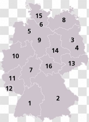
United States Of America
World Map
Location
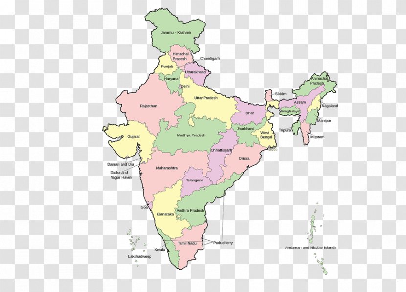
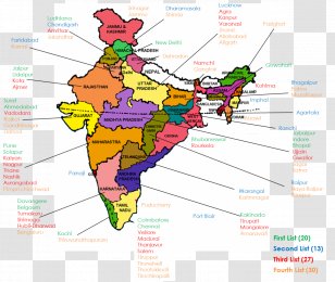
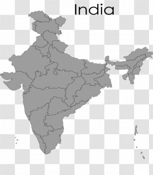
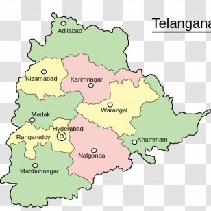
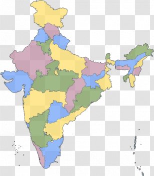
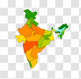
States Of India
Union Territory
Blank Map
India
Map
Geography
Globe
Download Transparent PNG
States Of India Map Globe United America - Mapa Polityczna Transparent PNG
Edit PNG
AI Background Remover
900x648
51.46 KB
August 2, 2018
PNG (300 DPI)
jimmara
Send Message
You might also like these images below...
Most recently uploaded images...
Forgot your password? No problem...
After clicking the Request New Password button, you will be redirected to the frontpage. You will then receive an email with further instructions.
Request New Password
Sign up and start downloading in seconds... totally FREE
Sign up with Google
or use the form below
By clicking the "Sign Up" button you confirm that you agree with our
Terms of Service
,
Privacy Policy
and our
Notification Settings
.
Sign Up
Already have an account?
Log In
Log back into your account...
Login with Google
or
Login
No account yet?
Sign Up
Forgot your password?