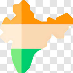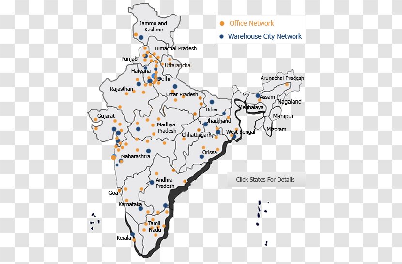
A map of India, showing the office network and warehouse city network in India. The map is color-coded, with different shades of blue representing different areas of the country. The cities are labeled with their respective names, such as Jammu and Kashmir, Himachal Pradesh, Delhi, Uttar Pradesh, and Nagaland. There are also orange dots scattered throughout the map, indicating the locations of the office networks. The text on the map reads "Office Network Warehouse City Network" and "Click States For Details".
User tyleay uploaded the image
User tyleay uploaded the image
India Logistics Warehouse Map Service - Inventory - With Cities PNG
. The resolution of this PNG file is 490 x 545 pixels and it has a file size of 111.80 KB.India Logistics Warehouse Map Service - Inventory - With Cities PNG
You might also like these images below...