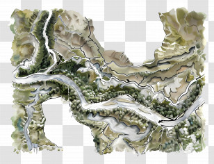
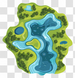
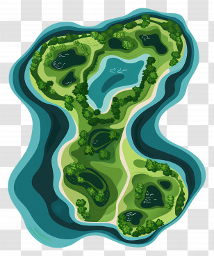
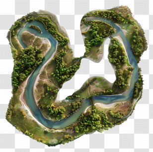
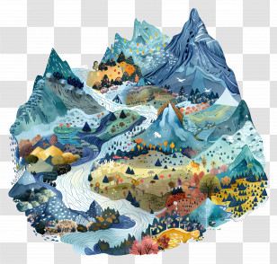
An illustration of a map of a city with a river running through it. The map is in the shape of the letter "S" and is colored in different shades of blue, green, pink, and yellow. The city is surrounded by trees, buildings, and roads, and there are several buildings and structures scattered throughout the map. The river runs through the center of the map, winding its way through the city. The buildings are of different sizes and shapes, with some taller and some shorter. The roads are lined with trees and bushes, and the buildings are scattered throughout. The overall style of the illustration is cartoon-like and playful.
User chandlian uploaded the image
User chandlian uploaded the image
Aerial View - Colorful Illustrated Map PNG
. The resolution of this PNG file is 4020 x 4172 pixels and it has a file size of 17.53 MB.You might also like these images below...