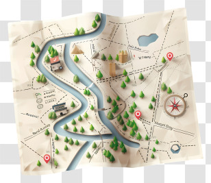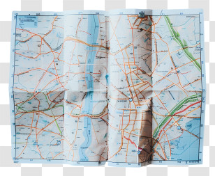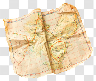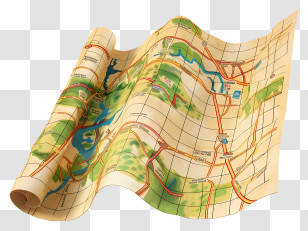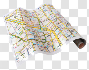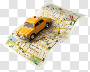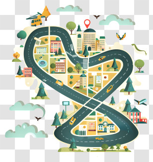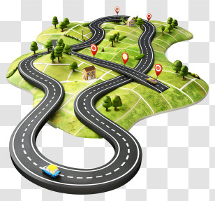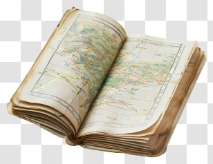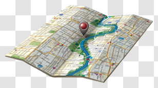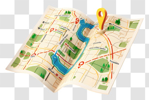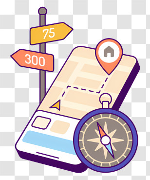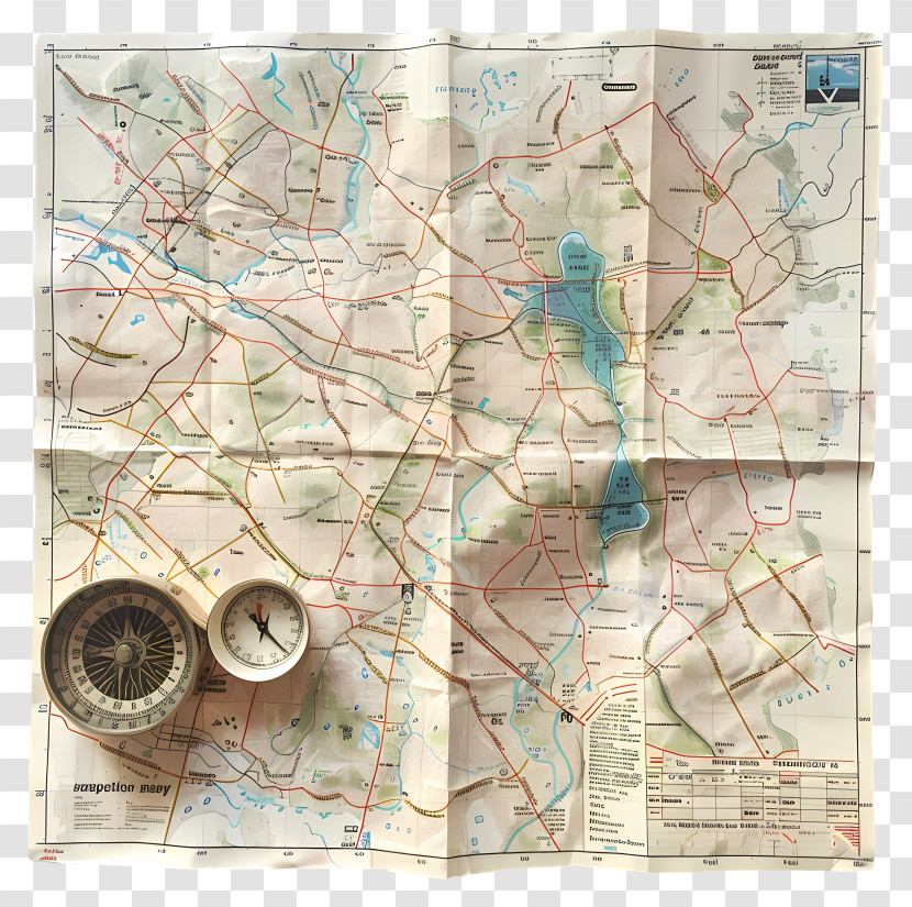
A map of a city or town with various roads and highways. The top of the map is divided into different sections, each with a different color and pattern. The colors range from light blue to dark blue, with some areas being darker blue and others being lighter blue. There are also some red and yellow lines scattered throughout the map, which appear to be lines and dots. On the left side of the image, there is a compass with a black face and a white body, which is likely used to indicate the direction of the city. On the right side, there are two smaller compass heads, one with a red face and the other with a blue face. The compass heads are placed on top of each other, suggesting that the map may be used as a compass or a compass for navigation.
User drmurrt uploaded the image
User drmurrt uploaded the image
Read A Road Map Day - Map And Compass For Navigation PNG
. The resolution of this PNG file is 4068 x 4048 pixels and it has a file size of 20.58 MB.Read A Road Map Day - Map And Compass For Navigation PNG
You might also like these images below...