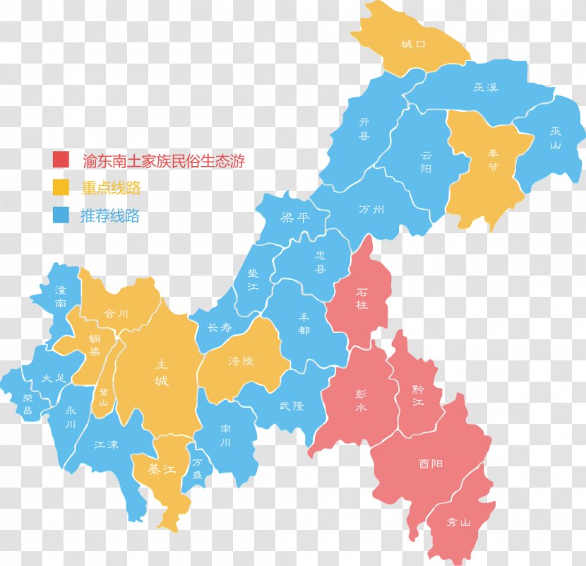
A map of China, showing the provinces and their capitals. The map is color-coded, with different shades of blue, yellow, pink, and red representing different regions of the country. The provinces are arranged in a grid-like pattern, with each province represented by a different color. In the top left corner of the map, there is a red bar with three horizontal bars, representing the provinces. The bars are labeled with Chinese characters, indicating the names of the provinces in each region. The colors of the bars vary, with some being blue, some being yellow, and some being pink.
User russeris uploaded the image
User russeris uploaded the image
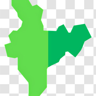
Chongqing Blank Map Vector Geography - China PNG
. The resolution of this PNG file is 1031 x 995 pixels and it has a file size of 171.89 KB.You might also like these images below...